- PMRV
- Activities
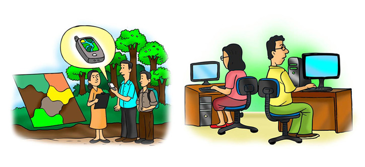
- RS/GIS
- Research questions
Research questions
The research was conducted around the following questions:
- What scale of deforestation and forest degradation can be measured using satellite data and spatial analysis approaches?
- How to use remote sensing/GIS to select relevant sites for local communities to measure carbon and drivers of forest cover change?
- How can remote sensing/GIS be relevant to developing participatory measurement, reporting and validation (PMRV) under performance-based payment initiatives?